Our Courses
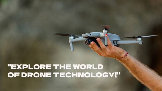
Small Rotorcraft

Advance Flying for Survey & Mapping
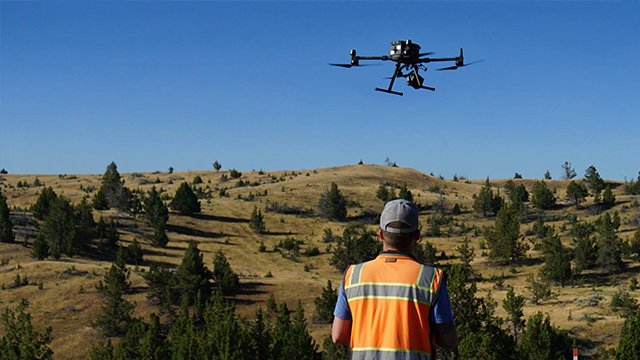
Advance Flying for LiDAR Mapping
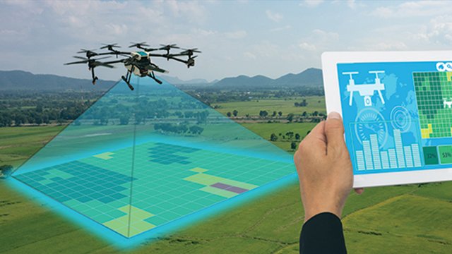
Basic Drone Survey and Mapping

Advance Drone Survey & Mapping


Our vision is to establish a network of training institutions focused on drone and space technology education. We aim to offer high-quality training to empower individuals as skilled drone pilots, Drone data experts, Drone innovators, and Drone entrepreneurs while ensuring safety and compliance with aviation regulations

Drone Academy of India, supported by Matrix Geo Solution (P) Ltd. and Institute of Photogrammetry and Geo Informatics (IPGI), delivers premier drone training in India. With industry support and expertise, the academy ensures top-notch instruction, empowering enthusiasts and professionals with the skills needed to excel in the dynamic field of drone technology.

Established in 2007, the Institute of Photogrammetry and Geo Informatics (IPGI) located in New Delhi’s Dwarka, India, is a premier institution renowned for its specialized training in Drone Photogrammetry, Remote Sensing, and GIS. Offering practical education and utilizing cutting-edge facilities and software, IPGI ensures its candidates are equipped with the skills necessary for employment in the industry. With a strong emphasis on hands-on learning, the institute maintains an exceptional 100% placement record, underscoring its commitment to producing highly skilled professionals ready to tackle the challenges of modern mapping and data analytics

Matrix Geo Solutions (P)Ltd is a top geospatial company with 120+ Drone Pilots, Drone Data Processing Experts and Drone Engineers in India, Matrix Geo Solutions is first to offer drone services for commercial use in the Indian civil application. Matrix Geo Solutions empowers engineers and decision-makers across various industries like roads, railways, urban planning, and more. Using advanced drone and space technology solutions, they aid more than 450+ clients in planning, monitoring, and management tasks to enhance efficiency, save costs, and facilitate better decision-making in sectors including agriculture, power, and oil & gas.


