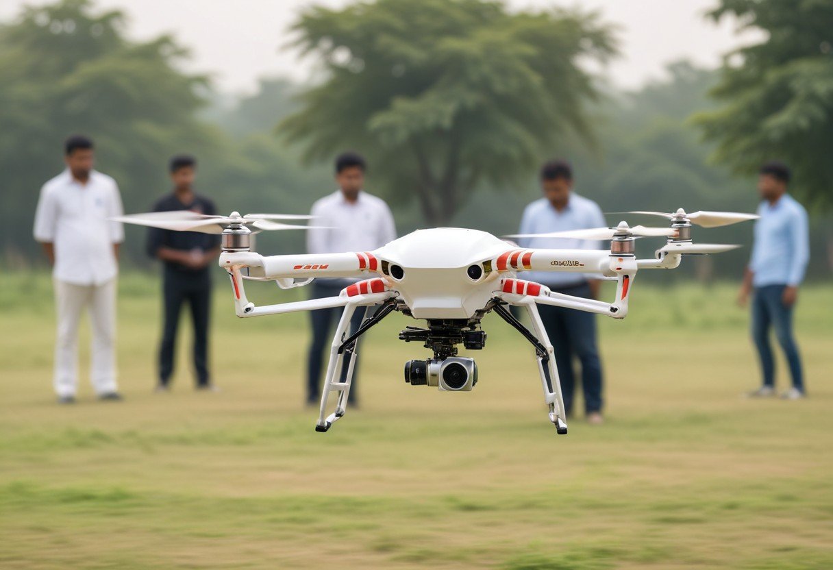
Surveying and Mapping
Embark on a fulfilling career in surveying and mapping with drones! Contribute to projects by capturing detailed aerial data for construction, urban planning, and environmental monitoring. Join the mapping revolution now!
- Utilize drones for precise aerial surveying and mapping.
- Contribute to construction, urban planning, and environmental projects.
- Join a cutting-edge industry revolutionizing data collection and analysis.